From cloudburst to decision
One storm. Four layers of analysis. One decision.
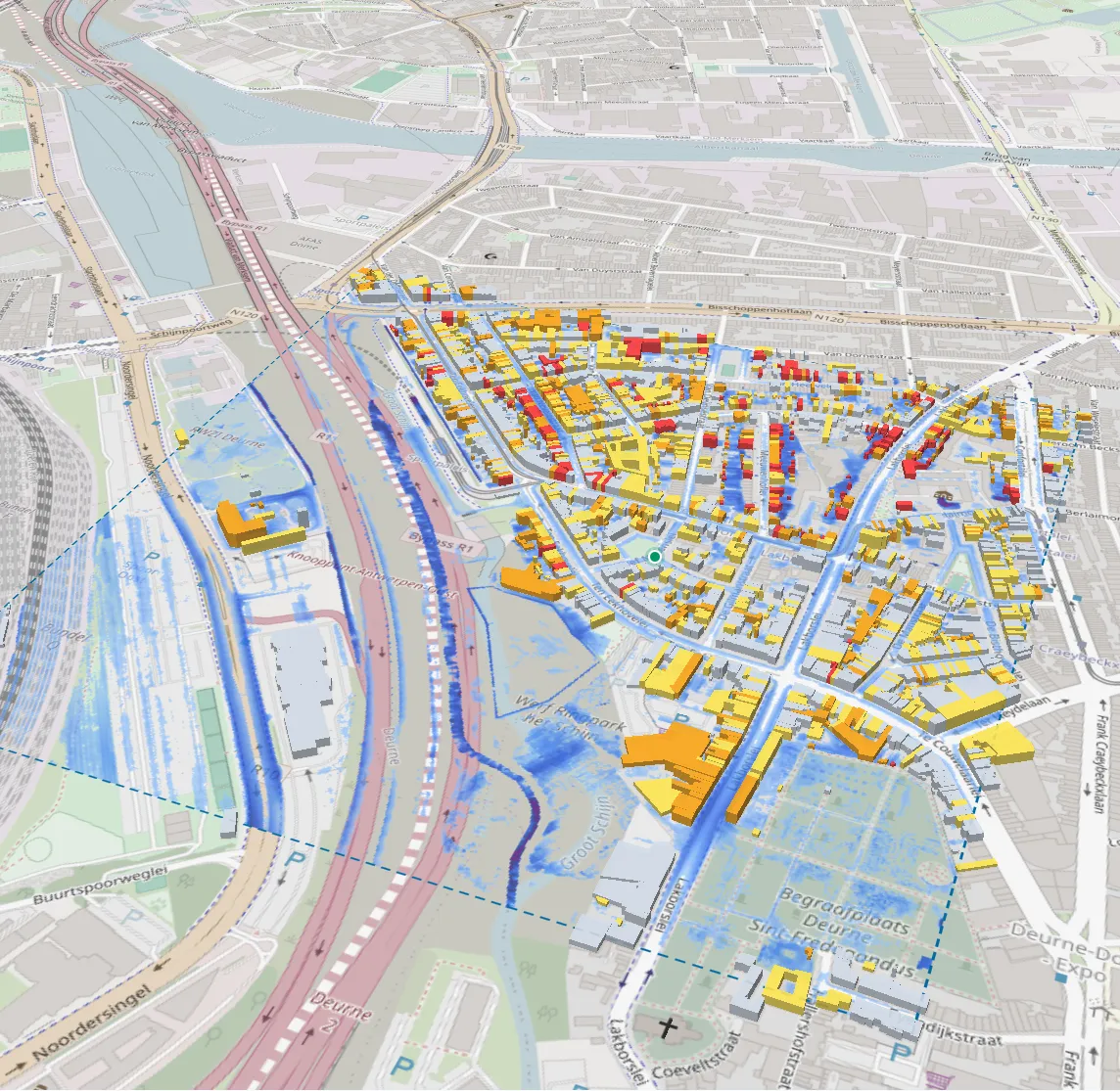
Follow a single storm through the twin of Deurne. The maps below are real layers from the pilot, not mock-ups.
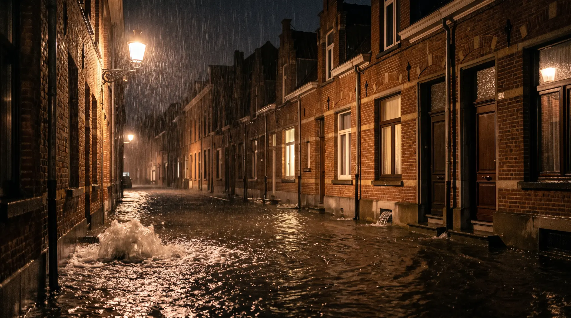
01The storm
A cloudburst outruns the sewer. In minutes.
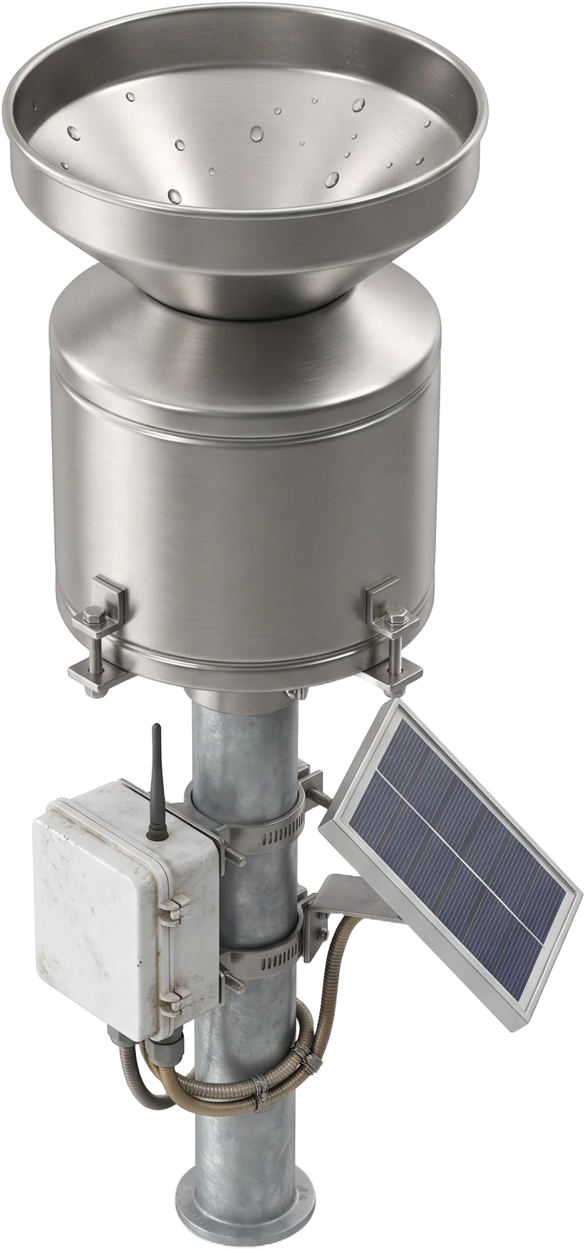
- Input
- A design cloudburst (here 59 mm in 3 h) with optional climate uplift, or an event observed by a VMM rain gauge.
- Why it matters
- Short, intense storms overwhelm drainage before any river rises. The damage is decided street by street.
In FloodTwinEvery run stores its storm, so anyone can see what was assumed.
02The terrain
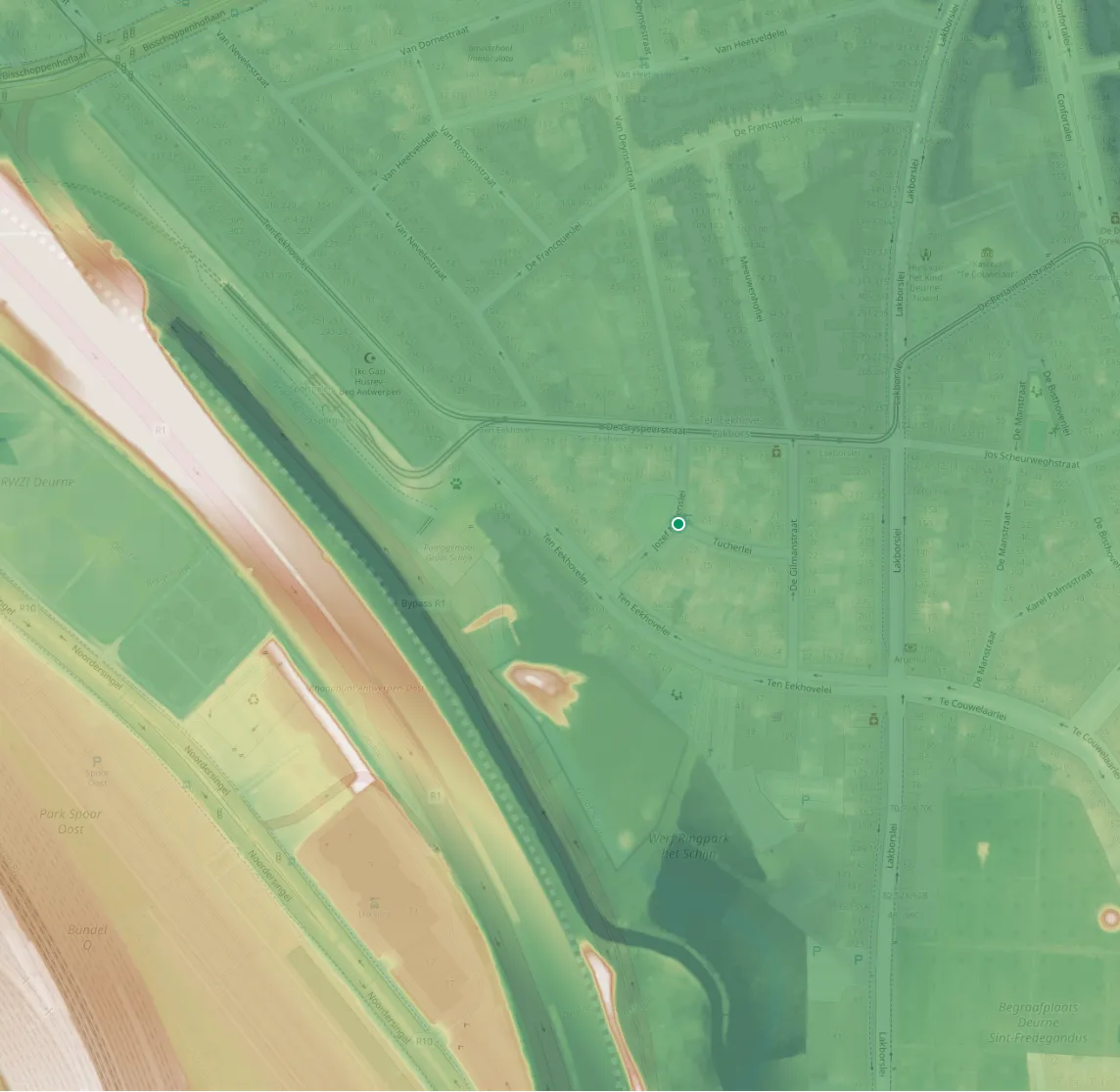
Water follows the ground. To the centimetre.
- Layer
- Hydrologically conditioned DTM in Belgian Lambert 72, heights in Ostend datum (m TAW).
- Derived
- Slope, flow accumulation, wetness index and height above drainage, labelled as inference, never as depth.
In FloodTwinEvery raster carries its source, licence and SHA-256 fingerprint.
03The physics
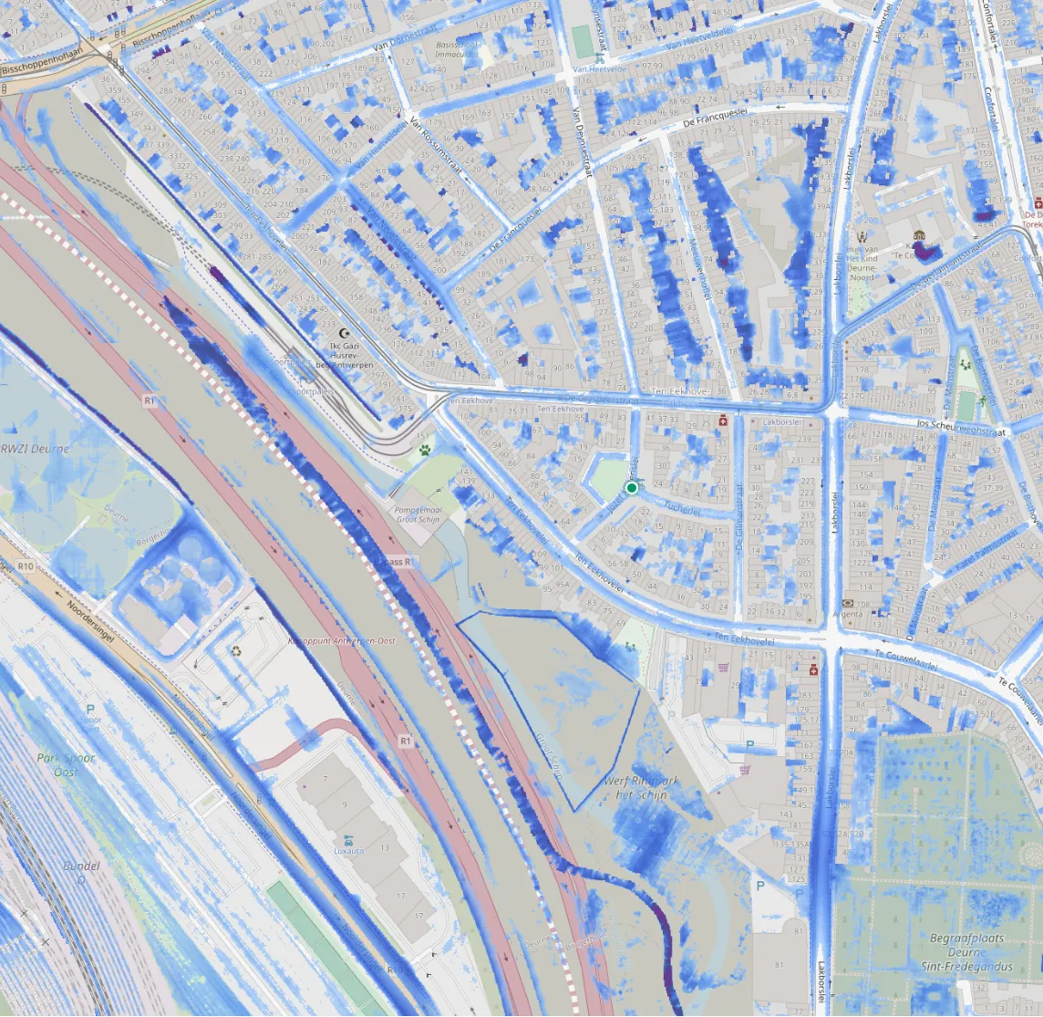
The storm, solved. Not guessed.
- Solver
- Deltares SFINCS v2.5.0, a 2D shallow-water model, compiled from source. Depths downscaled to 1 m.
- Checked
- Against the official VMM pluvial map: CSI 0.36. Published with its limits, inside the product too.
In FloodTwinNo AI invents a depth. Every number comes from the physics run.
04The exposure
Every doorstep, counted. Not a colour on a map.
- Method
- Each GRB footprint is sampled along its facade against 5, 15 and 30 cm thresholds; roads by length.
- Withheld
- Damage in euros stays off until validated Flemish depth-damage curves exist.
In FloodTwinExposure exports as GeoPackage and COG, in the Belgian grid.
05The decision
Test the measure first. Then build it.
- Counterfactual
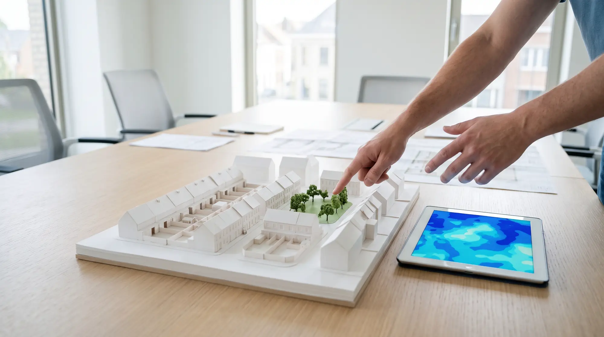
- Draw a basin, berm or green roof; it runs against the same storm and returns a depth-difference (Δh) map.
- Honest result
- A Rivierenhof basin alone lowers p95 depth by 0.13 m and clears 281 m of road, but protects no building.
In FloodTwinKnowing that before the excavator arrives is the point.
Evidence · Antwerp-Deurne pilot
Numbers from a real run, not a brochure.
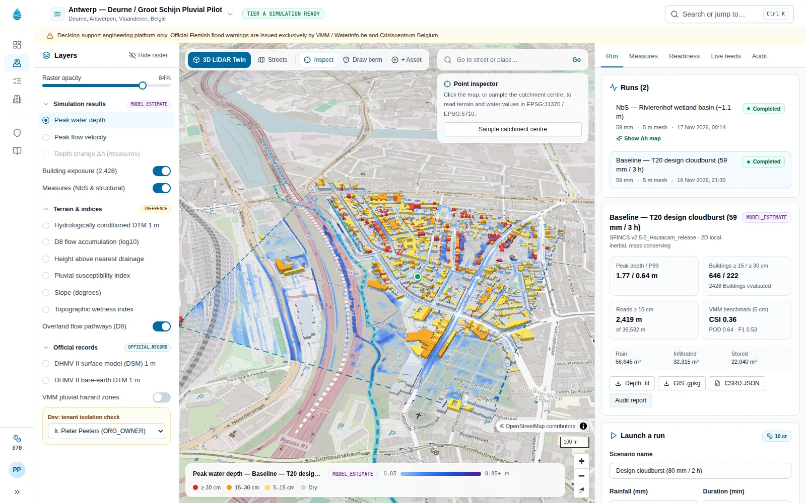
Measured on 17 November 2026 on the Groot Schijn catchment in Deurne: a 59 mm, 3-hour design storm on official Flemish terrain and building data.
- buildings evaluated
- 2,428
- GRB footprints in the 1 km² pilot
- reached by 15 cm water
- 646
- threshold-entry depth, T20 baseline
- seconds to solve
- 8.3
- SFINCS wall-clock, 5 m grid, 3 h storm
- agreement with VMM map
- 0.36
- critical success index at 5 cm
An honest accuracy figure. Against the official VMM Watertoets pluvial map the pilot scores a CSI of 0.36. That is useful for screening, not yet for design: the sewer network is not modelled and infiltration is uniform. We publish the figure and the limitations together, inside the product too.
Measures are not oversold. In the pilot, a Rivierenhof retention basin alone lowers the 95th-percentile depth by 0.13 m in the area it drains and clears 281 m of road below 15 cm, but protects no building on its own. The twin shows that before anything is built.
Solver: Deltares SFINCS v2.5.0 (GPL-3.0, built from source). Monetary damage is withheld until validated Flemish depth-damage curves are available.
Trust
Built for decisions that will be questioned.
Water authorities answer to councils, auditors and residents. FloodTwin keeps the evidence chain intact from gauge to report.
Every layer says what it is
Tamper-evident audit trail
Licences enforced in code
People decide
Credits
Pay for physics, not for looking.
Plans are sold on the Sensifai Marketplace and include a monthly credit allowance. Credits are only used when the solver runs; a failed run is refunded automatically.
| Action | Credits |
|---|---|
| Explore terrain, layers and the point inspector | 0 |
| Baseline storm simulation (SFINCS 2D) | 10 |
| Mitigation counterfactual with Δh map | 15 |
Civic pilot plan: 500 credits a month · Regional authority plan: 2,500 credits a month.
FAQ
Questions engineers ask first.
Short answers here; the guide has the detail.
Run the next storm before it arrives.
Open the Deurne pilot, or talk to Sensifai about a twin of your own catchment in Flanders.